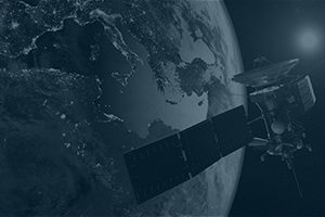
Lanterne helps international workers based in conflict zones to navigate safely. We do so by creating a conflict prediction tool to help international workers avoid violent attacks. We do this by creating a precise geolocated database on violent incidents using high-resolution satellite images and open source information.
You also might be interested in
AI is creating new big opportunities in space and will change global satellite operators, space agencies and contractors.
Agcurate connects agribusiness, agri-finance, and governments with rich, accurate, and[...]
How can sustainable design nudge your upstream (suppliers) and downstream (customers) operations? Find out in this InnoDays webinar.


